Description
World Geography Europe Review
Activities and Lesson Plans were designed for use with the Virginia Standards of Learning 2012 standards. They can be used as part of a unit, homework, or stand-alone activity. Purchasing this product gives the buyer the right to make as many copies as the buyer wants for educational purposes for as long as buyer wants.
Europe Review Worksheet:
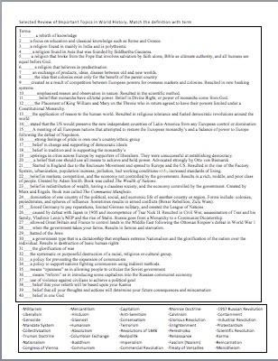
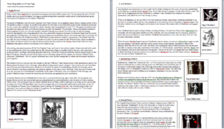
Includes 25 student questions, a political map, and a physical map. Political Map includes: Netherlands, France, Britain, Italy ,Russia, Spain, Iceland, Denmark, Ukraine Norway, Ireland, Sicily, Poland, Sweden, Greece, Germany, Switzerland.
Physical Map Includes: Pyrenees Mts., English Channel, Danube River, Po River, Volga River, Seine River, Alps Mts. ,Rhine River ,Apennines Mts., Atlantic Ocean, Mediterranean Sea, North Sea, Thames River.
Students also are to label the following peninsulas using different colors: Italian, Scandinavian, Jutland, Iberian, Balkan and the Strait of Gibraltar.
Worksheet is one page for easy and efficient printing.
Teacher answers are not included.
File size is less than 1MB and needs an unzipping tool. Requires software that can read Microsoft word and PowerPoint. This allows teachers to quickly make changes to the documents.
Due to the nature of digital products, refunds will not be offered. If you have questions please Contact Me.